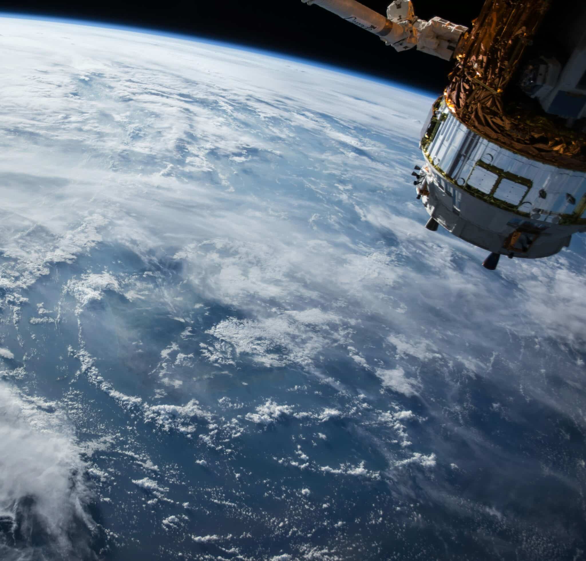
Have you ever wondered what would happen if we pointed an orbital telescope towards the Earth? In this course, we will look at how we can observe the Earth and its environment using remote sensing techniques. Starting with a history of these techniques, we will build them up from their physical bases and discuss their advancements into the tools we have today. These include high-powered lasers, radar, space-based cameras, and many other new techniques. We will examine how these tools are used to observe the environment of the Earth and what they can tell us about its past, present, and future. In doing so, we’ll look at many examples of remote sensing in action including how we can track hurricanes, where the next forest fires could be, and how we can find pirates sailing the high seas.
Instructor: Patrick O’Brien
Patrick O’Brien is a PhD student at the University of Alberta studying in the Department of Earth and Atmospheric Sciences. His research focuses on measuring forest biodiversity using remote sensing methods in tropical environments. This research uses different remote sensing methods, including hyperspectral and LiDAR sensors, to measure variations within forests in an effort for better biodiversity conservation. Patrick also has experience working in the boreal forest with the Canadian Forestry Service. He has a background in physics with an MSc in Astroparticle Physics from the U of A and a BSc in physics and math from St. Francis Xavier University. Outside of research and teaching, Patrick enjoys playing the bagpipes and taking his dog for long walks.


